
THE FREE TIER NOBODY ELSE OFFERS
Landowner names. Free. Yes, really.
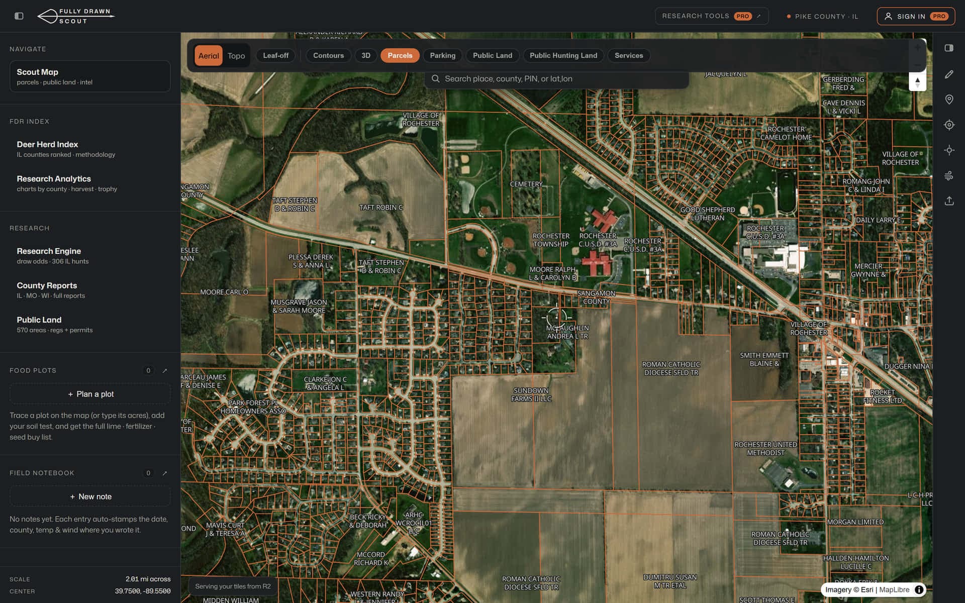
The layer every other hunting app makes you pay for is Scout's free tier: tap any covered Illinois parcel and see who owns it and how many acres they've got.
Parcels + owners · ??
5.2M+ Illinois parcels with owner name & acreage on the map, free.
Bring every pin you've saved
GPX/KML imports from any mapping app keep your types, colors and notes intact, and imported pins never count against your waypoint cap.
102 free county reports
FDR Index rank, record-book history, 20-year harvest trends and season dates for every Illinois county.
Open early access
Every Pro layer is unlocked free right now while Scout is in Illinois early access.
WHAT THE MAP APPS CAN'T SHOW YOU
The data lives under the map.
Anyone can draw a boundary. Scout fuses two decades of harvest outcomes, every record-book entry, pressure data and access intel onto the map, so you scout where the deer actually are.
Big-Buck County Index
Illinois · major record books- Pike779
- Fulton391
- Will318
- Jo Daviess312
- McHenry305
- Adams296
- Lake271
- Brown238
Deduped across the major whitetail record books, so a buck in more than one book is counted once.
Record-book intel
Every Illinois record across the major whitetail record books, deduped and ranked by county. See whether your county is a big-buck factory before you burn a season on it.
20-season harvest engine
IDNR harvest 2005–2024: county trends, season splits, buck-to-doe, age structure. 12 graphical reports per county.
Pressure, quantified
Hunter-pressure data on public areas. Find the under-hunted ground everyone else walks past.
5,500+ access points
Mapped parking and walk-in access for public ground, with source and confidence shown for every pin.
Winter leaf-off imagery
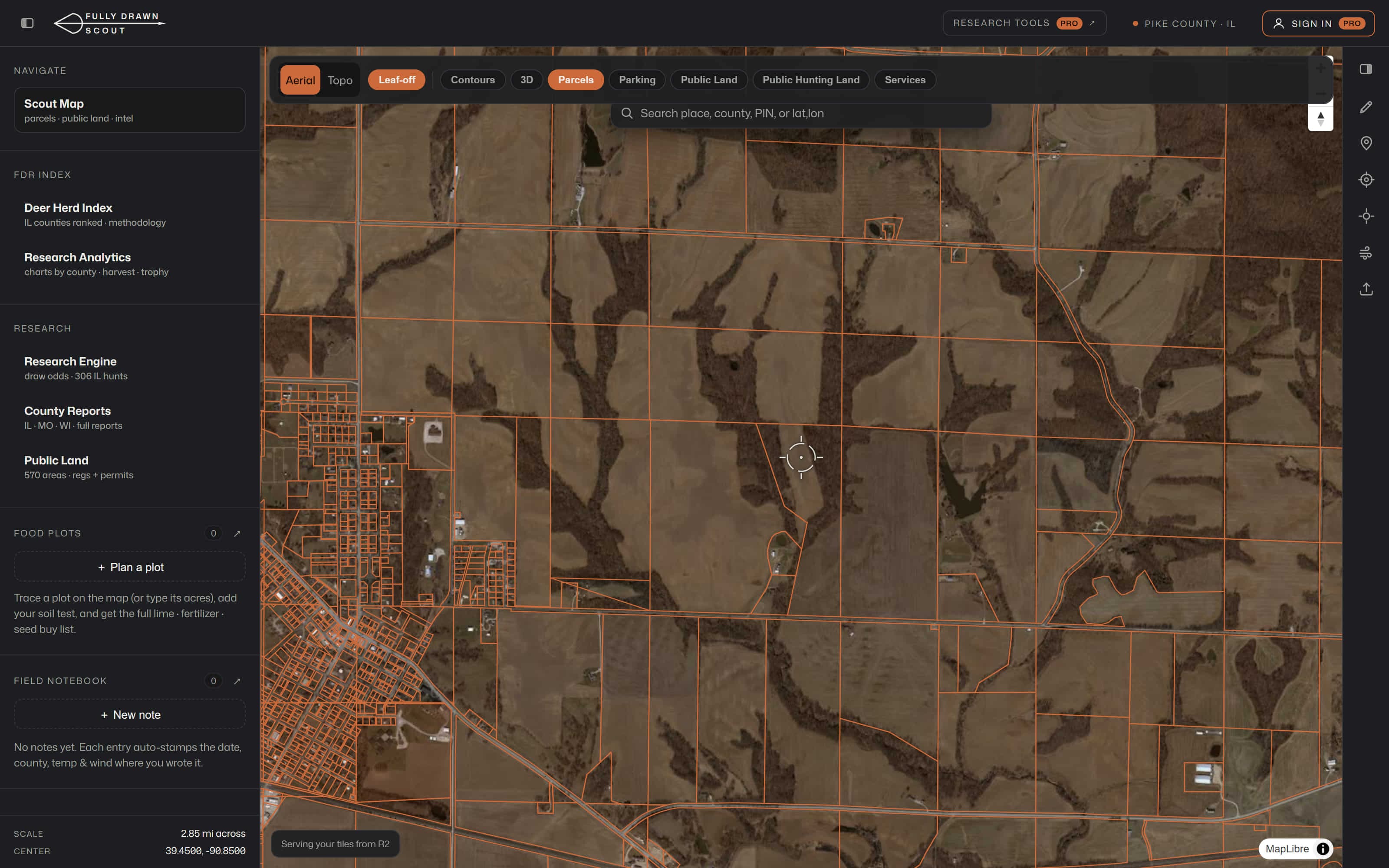
Statewide 6-inch leaf-off flown in 2025: read terrain, trails and bedding under the canopy that summer aerials hide. (Pro)
Plan the hunt, log the season
Trace a food plot → soil test → exact lime, fertilizer and seed buy-list. Auto-stamped field notebook: date, county, temp and wind filled in for you.