About
About Fully Drawn Research
We want to help hunters get the most out of what they know and the time they put in. That means building the most useful hunting tool we can and keeping the price as low as we can.
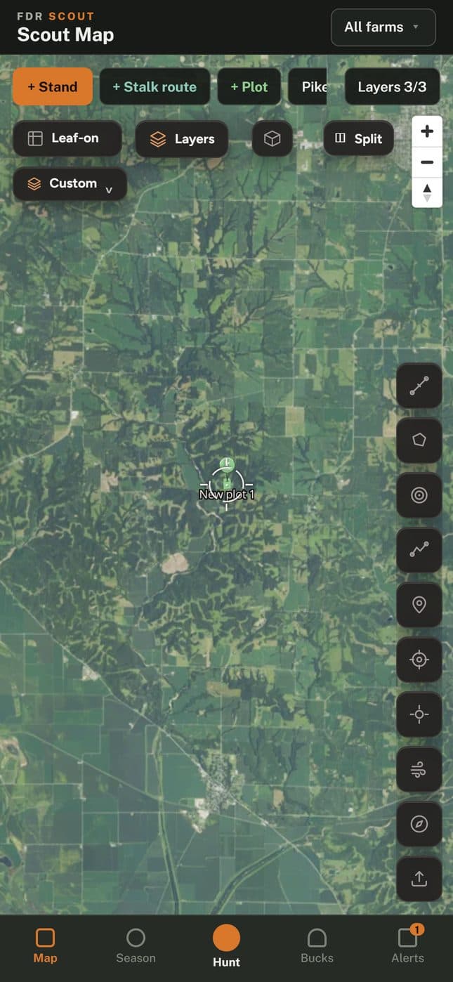
We pull public records on deer and the land they live on and publish what we find. Most people use that research through the Scout map app, live in all 50 states. We run the company lean so we can keep the price down.
How it started
It started as one hunter's pre-season research
Hunters have limited time. Before every season our founder asked the same question. How can I make better use of the data I already have access to and make my season more efficient? There was plenty of public data on deer and land. Most of it was spread across agency reports and county records and hard to put to use.
Our founder answered that question with an analytical background. Twenty years as an investment analyst with the CFA charter and an MBA teaches you to go to the original records and compare things on equal terms. It also teaches you to be honest about what the data can't tell you.
Over time the research grew into this company. Putting it on a map became Scout.
How we work
Every number we publish should show where it came from.
- 01
We go to the original source
Harvest numbers come from the state agencies that count them and the Buck Index comes from published big-buck entries. Parcel lines come from county and state records and imagery comes from USDA and USGS. If we can't trace a number back to its source we leave it out.
- 02
We show our work
Every working paper explains its method and cites its sources. Regulation pages show the date we last checked them with the state agency.
- 03
We label estimates
Our county scores are estimates built from public data. They can't promise you a deer and they don't give you permission to hunt private land. When we don't have the data we say so.
- 04
We're independent
We aren't tied to any state agency or any other hunting app. If we get something wrong we fix it.
What we publish
Most of our research is free to read
You'll find all of it on the Intel page.
Working papers
Research papers built from public records with the method and sources included.
Open →Field guides
How-to guides written to the same standard as the papers.
Open →State regulation reports
Editorial reports on season dates, permit deadlines and CWD zones. Scout itself is live in all 50 states.
Open →The map
Scout puts our research on the map
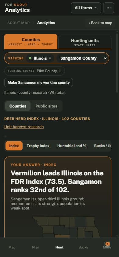
Scout shows county harvest history and our county scores in the same app as your imagery and saved pins. Leaf-off imagery is included.
The map is free. Paid plans add parcel boundaries with owner names and more layers.
See a number that looks wrong?
Email us at info@fullydrawnresearch.ai with the page and the number and we'll check it against the source.