
COVERAGE
What's live, by state. No painted-on maps.
Every mapping app shows a national map. Scout shows you exactly which layers are live where, and what's still in the pipeline.
Loading map…
- Live
- Next in line
- Roadmap: the whitetail Midwest
Illinois
Live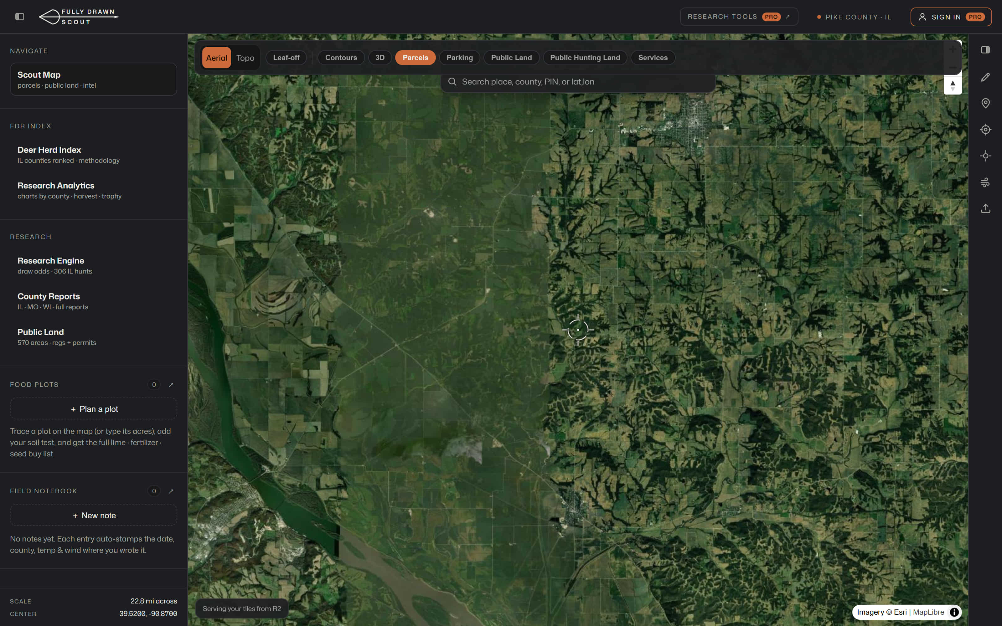
- 5.2M+ parcels with owner names (72 of 102 counties; remainder being re-sourced)
- All 102 counties scored + free reports
- 996 public hunting areas + 5,500+ access points
- Statewide 6-inch leaf-off imagery (Pro)
- 12 research reports per county (Pro)
Wisconsin & Missouri
Next in lineWisconsin & Missouri: parcel data is already in the pipeline. County research and layers follow the same playbook as Illinois.
The goal is the whitetail Midwest, state by state. Each one ships when its data is real.